| PREVIOUS | NEXT |
| INDEX | |
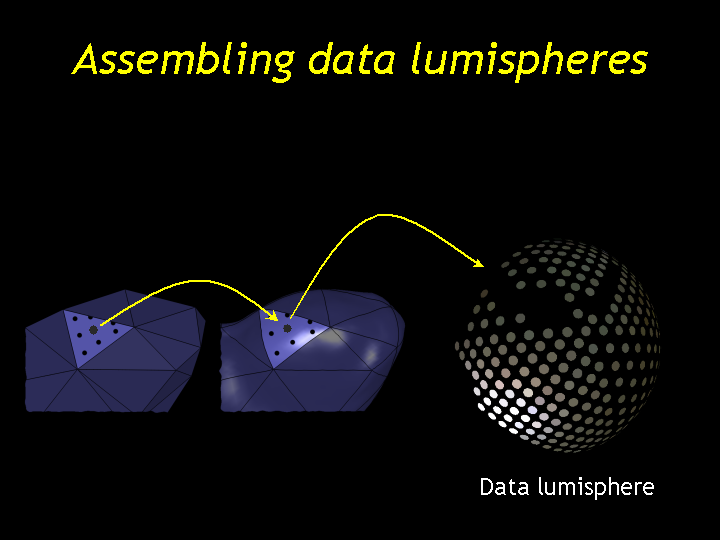
Each sample point is mapped back to the high-resolution geometry and then that point is mapped into the input photographs. For each photo where it is visible we get a direction-color pair (the color is the color of the point as seen from that camera). The collection of these pairs we call a data lumisphere.